Land Surveying
About us
Land Surveying in Memphis

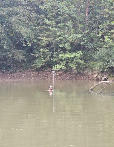
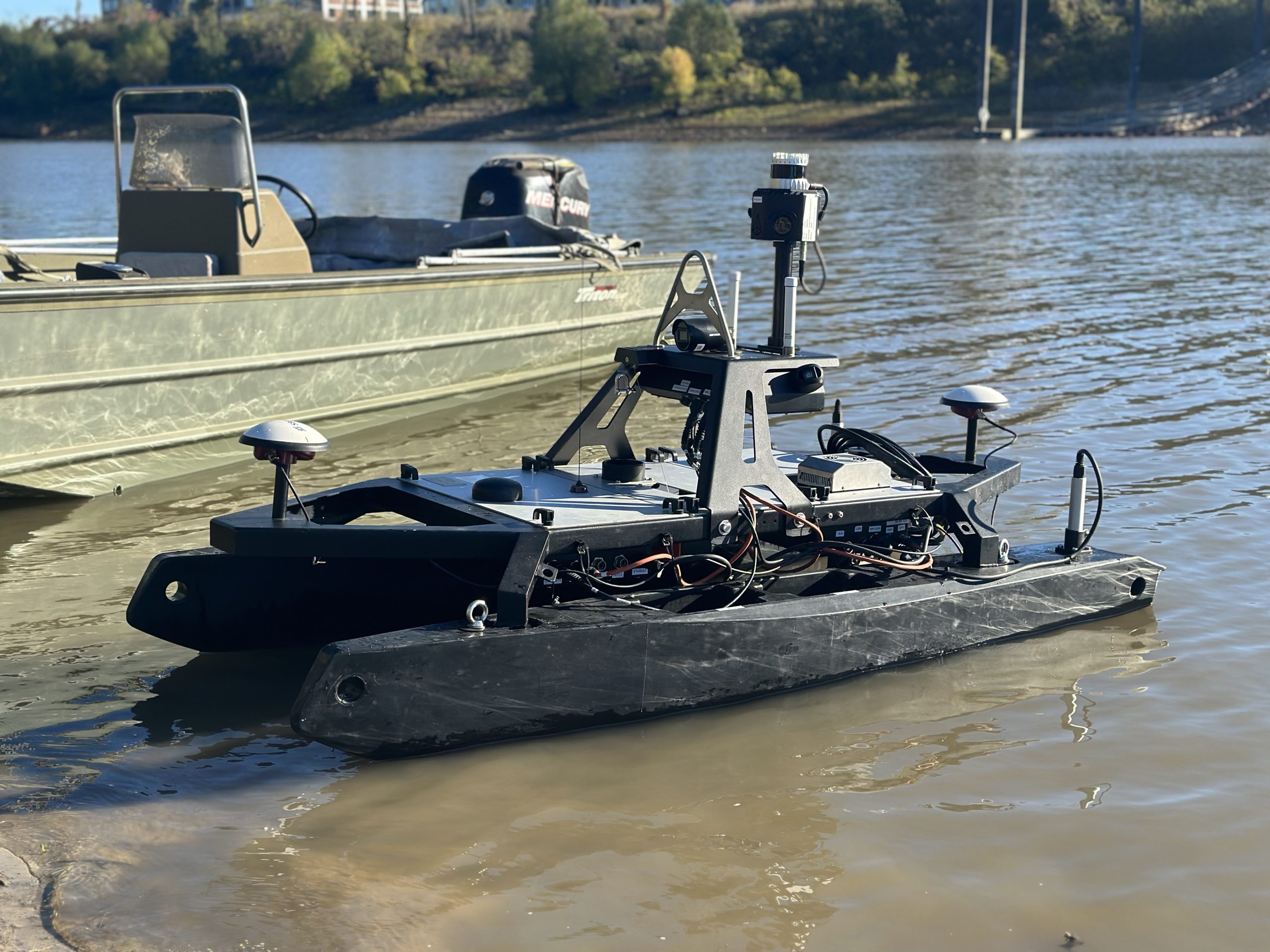
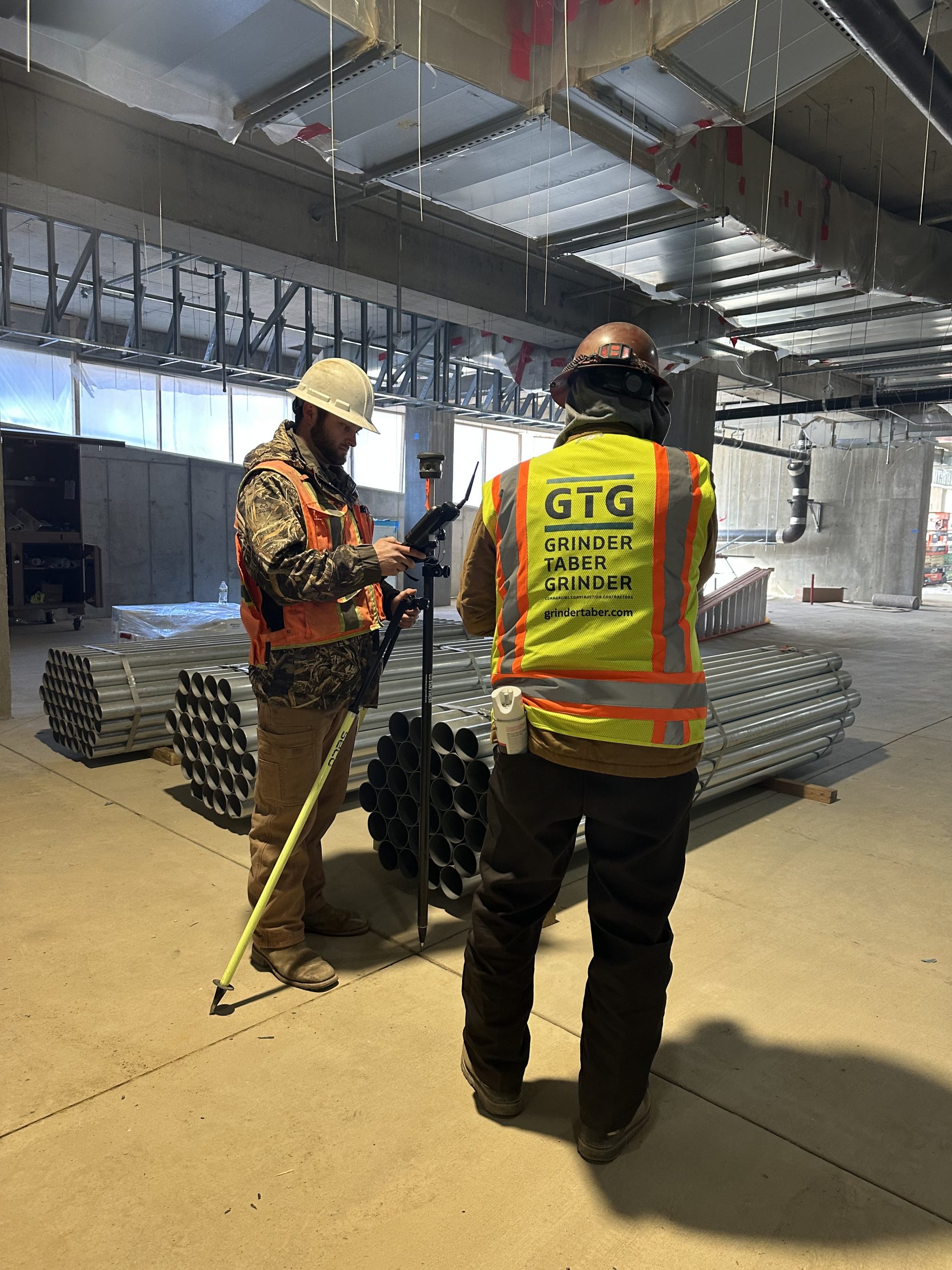
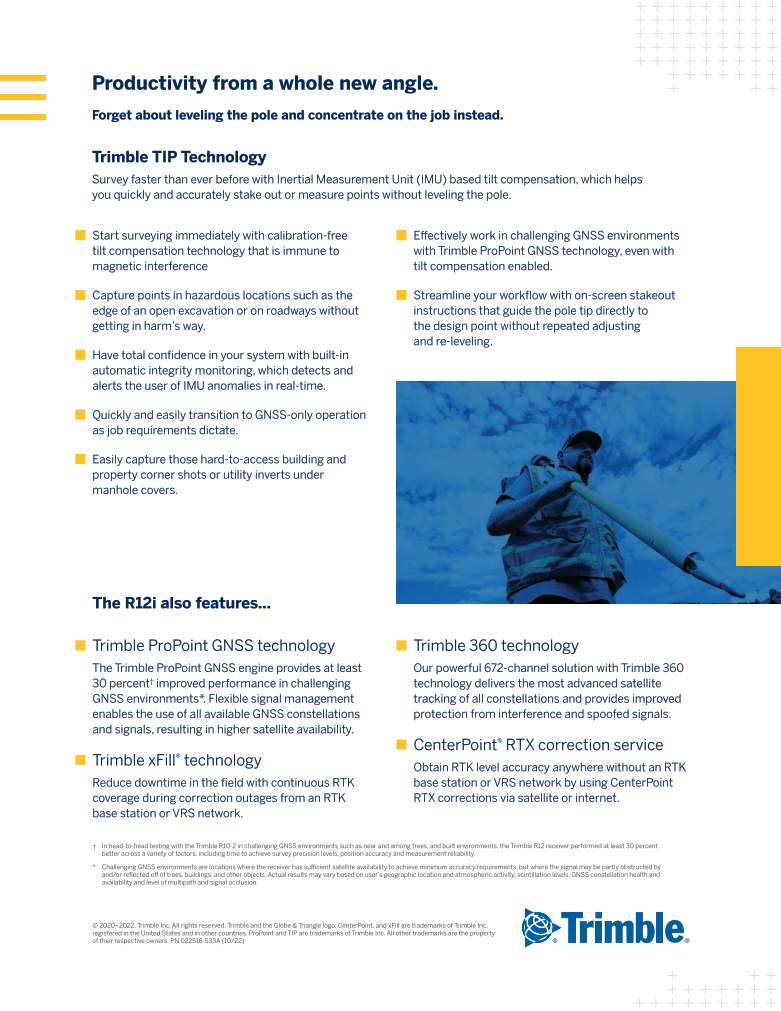
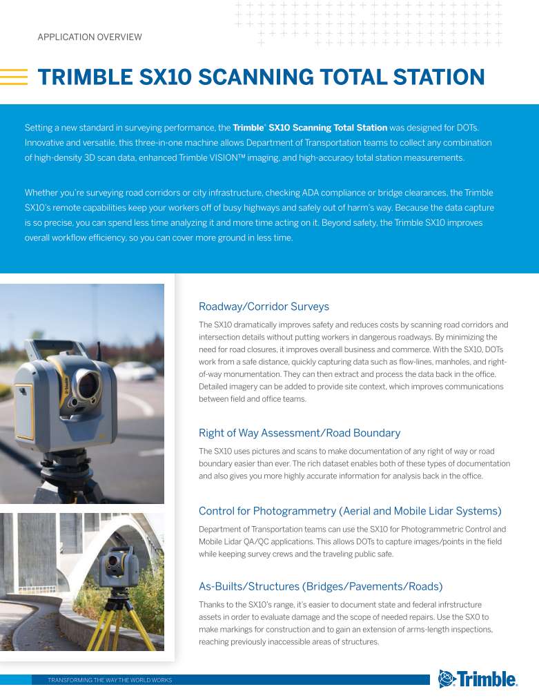
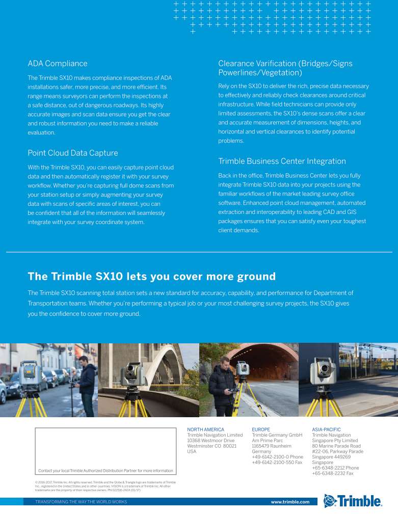
Geodesy provides land surveys in support of government agencies, developers, engineering and architectural firms, as well as private land owners. Our staff takes pride in providing superior customer service while using the latest techniques and technology to produce unsurpassed quality, precise, and efficient surveys to clients with demanding schedules and difficult scopes of service.
Land Surveying services include:
- ALTA/ACSM Land Title Surveys
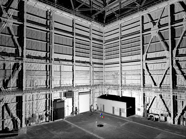
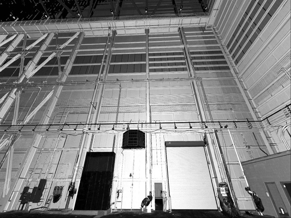
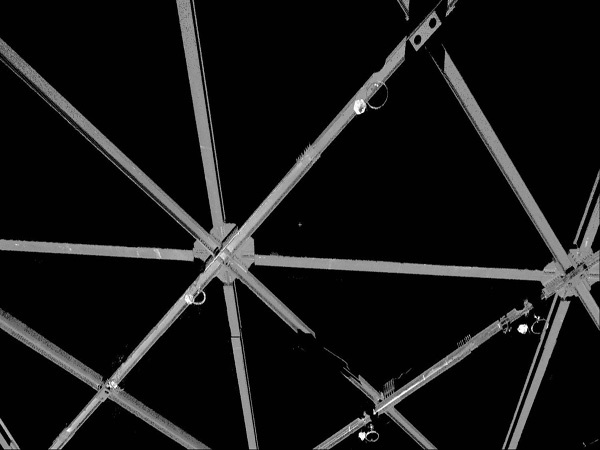
- 3D laser scanning
- boundary/cadastral retracement surveys
- engineering/design surveys
- topographic/planimetric surveys
- subdivision of property
- route surveys
- sediment/silt analysis surveys
- horizontal and vertical control surveys
- construction layout and site grading
- conservation program easement delineation
- flood studies
- Ground Penetrating Radar/RF utility location

Services Detail
Other Services

Geodesy offers land surveying, aerial surveying, and hydrographic surveying services, delivering innovative solutions with decades of experience and certified excellence.
