Hydrographic Surveying
About us
Hydrographic Surveying in Memphis

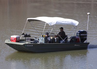
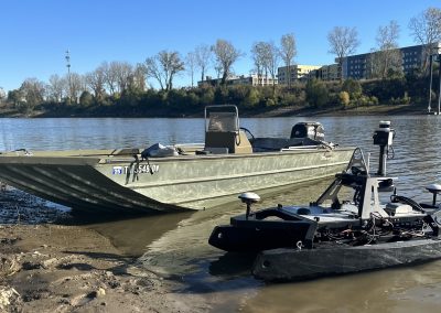
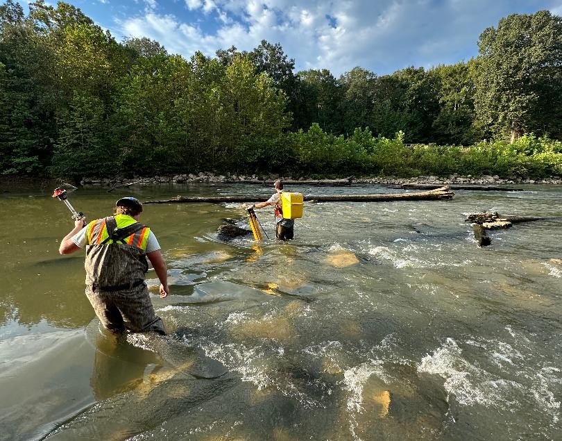
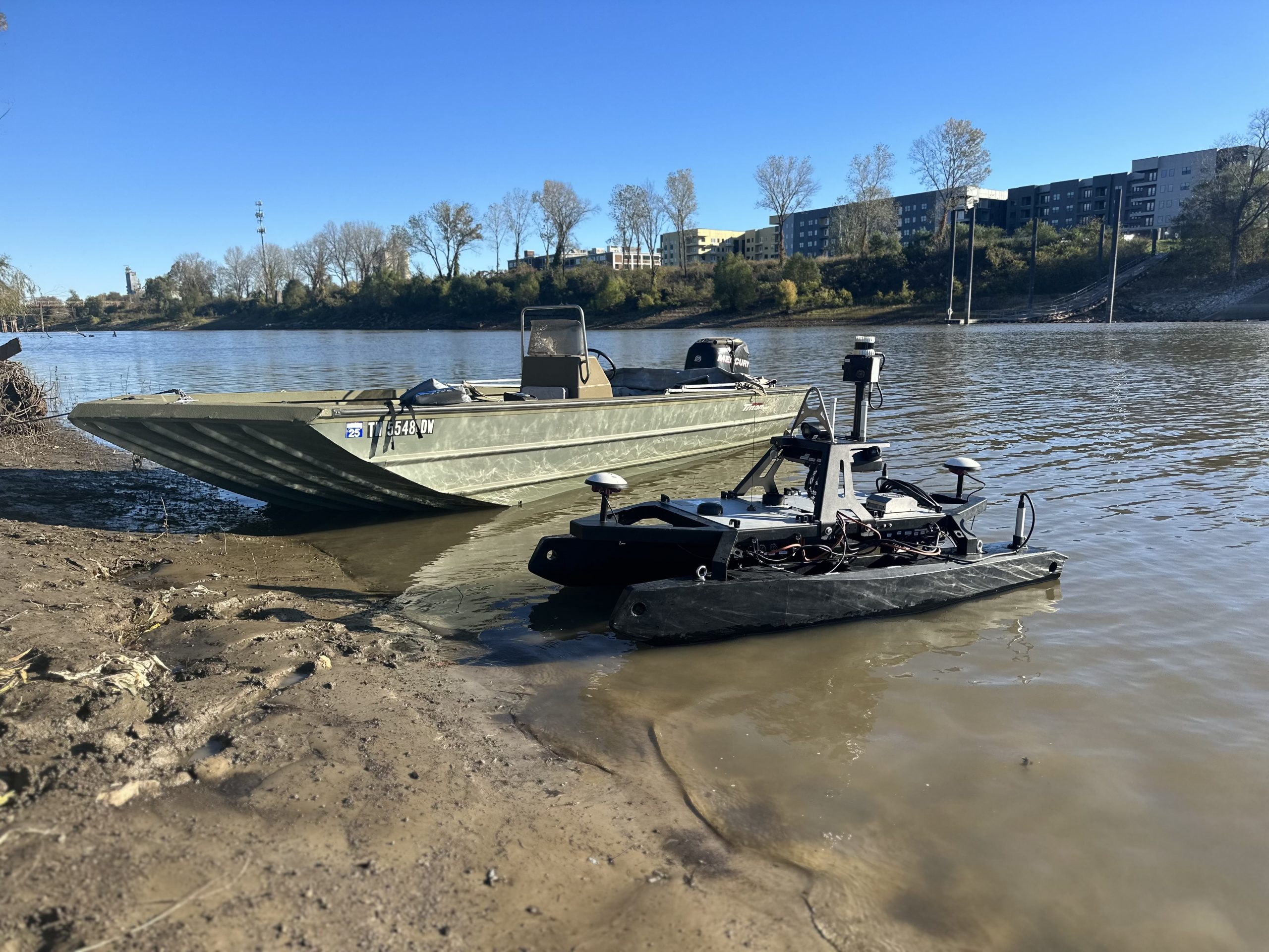
Geodesy provides Hydrographic Surveying Services for all types of navigable waterways and bodies of water, utilizing state-of-the-art technology. Our underwater mapping of dynamic rivers, lakes, estuaries, and coastlines prove invaluable in the design and construction of bridges, causeways, trestles, and erosion/flood control structures. Geodesy utilizes an integrated system comprised of an Odom Echtrac™ MKIII echo sounder with dual frequency transducer, HYPACK® Hydrographic Survey Software, with Trimble R8/GNSS RTK navigation on two separate floating platforms (an 18 foot, center console, aluminum vessel and a 26 foot, enclosed cabin, aluminum vessel) to produce the most precise hydrographic surveys possible.
Hydrographic surveying services include:
- dual frequency depth sounding with Trimble RTK GPS for positioning
- sub aqueous terrain mapping tied to land based surveys
- we rent multibeam & magnometers when needed for specific tasking


Services Detail
Other Services

Geodesy offers precise land surveying, aerial surveying, and hydrographic surveying services, delivering innovative solutions with decades of experience and certified excellence.
