Aerial Surveying
Services
Aerial Surveying in the Midsouth

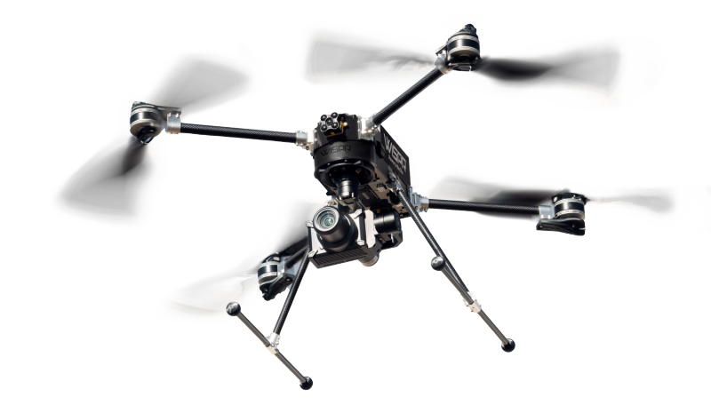
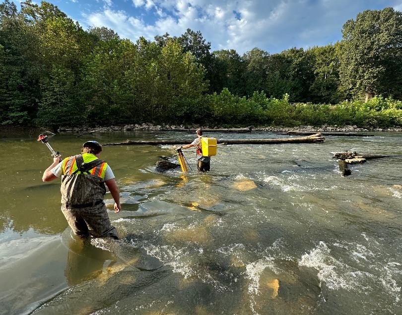
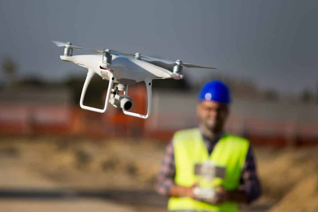
Geodesy Professional Services provides comprehensive aerial surveying and mapping services to local government agencies as well as private sector clients. With a strong commitment to excellence, out team utilizes cutting-edge remote sensing technology to provide a plethora of geospatial data solutions.
Aerial Surveying services include:
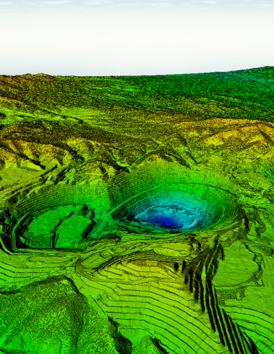
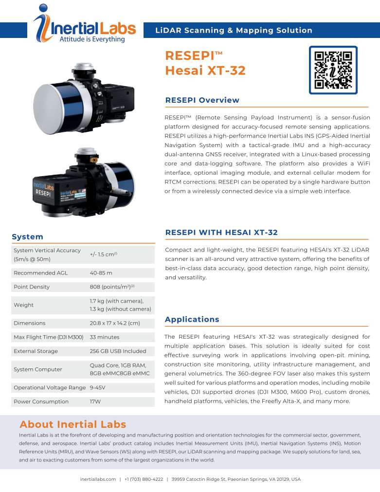
- Aerial LiDAR
- Photogrammetric Mapping
- Aerial Triangulation
- Planimetric and Topographic Mapping
- Volumetric and Stockpile Calculations
- Close Range Photogrammetry
- Orthophoto Imagery and Mosaics
- GIS Base Mapping
- Remote Sensing
Projects
Aerial Surveying Projects

Other Services
Other Services

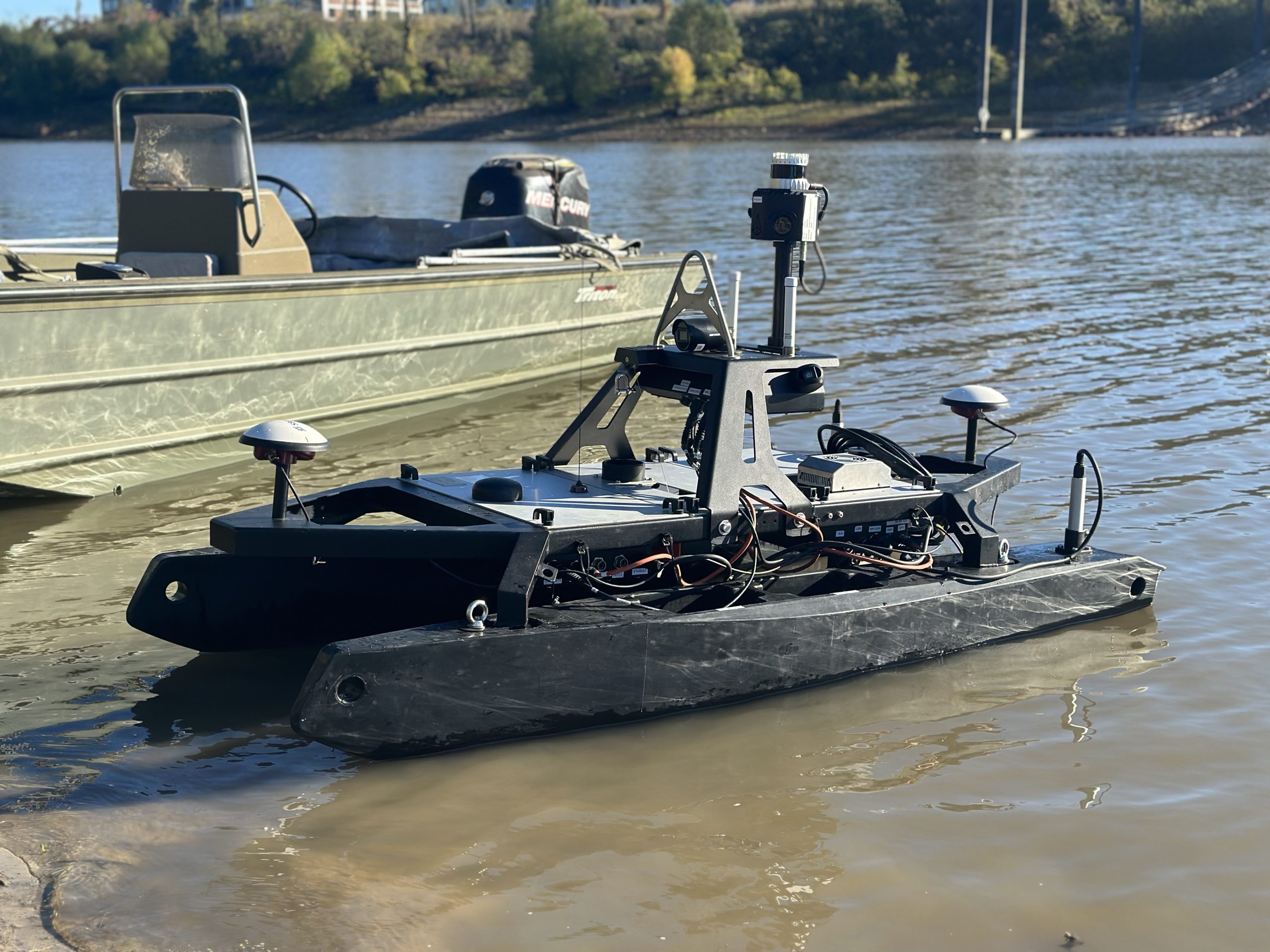
Geodesy offers land surveying, aerial surveying, and hydrographic surveying services, delivering innovative solutions with decades of experience and certified excellence.
